Once in a while during the D.C. summers, you get a cool, dry day that makes you forget all of those squishy shoes and the necessity of pre-dawn long runs.
I got one in late July 2017, the same morning as I drove out to western Loudoun County to meet up with Ed Lull to shoot our magazine cover – the Loudoun Valley boys’ cross country team. Looking for a rolling dirt road, Joan Hunter pointed us to Yellow Schoolhouse Road, near Bluemont. It did the trick alright. We only drove about a mile out, but I liked what I saw. I also knew it was an hourlong drive for me from D.C., so I had better make sure it was going to be worth my time to go out there.
With a similarly unseasonably cool day at the end of May, I went for it. I didn’t even get started until 9:45, but it was still delightfully cool. You can park on the shoulder just south of Route 7. After a half-mile climb, the road drops 200 feet over the next 2.5 miles. At 3.5 miles, take a right turn onto Ebenezer Church Road and take that all the way to Airmont Road, at Ebenezer Cemetary. That’s about 5.2 miles. Head back, ready to leave a little for the climb, especially the first half of the last mile.
Traffic is low and you’ll see other runners and walkers (and plenty of horses) out there. I’ve been told you can find some more dirt roads off of Snickersville Turnpike, which you pass a little more than two miles in, but I haven’t gone there myself.
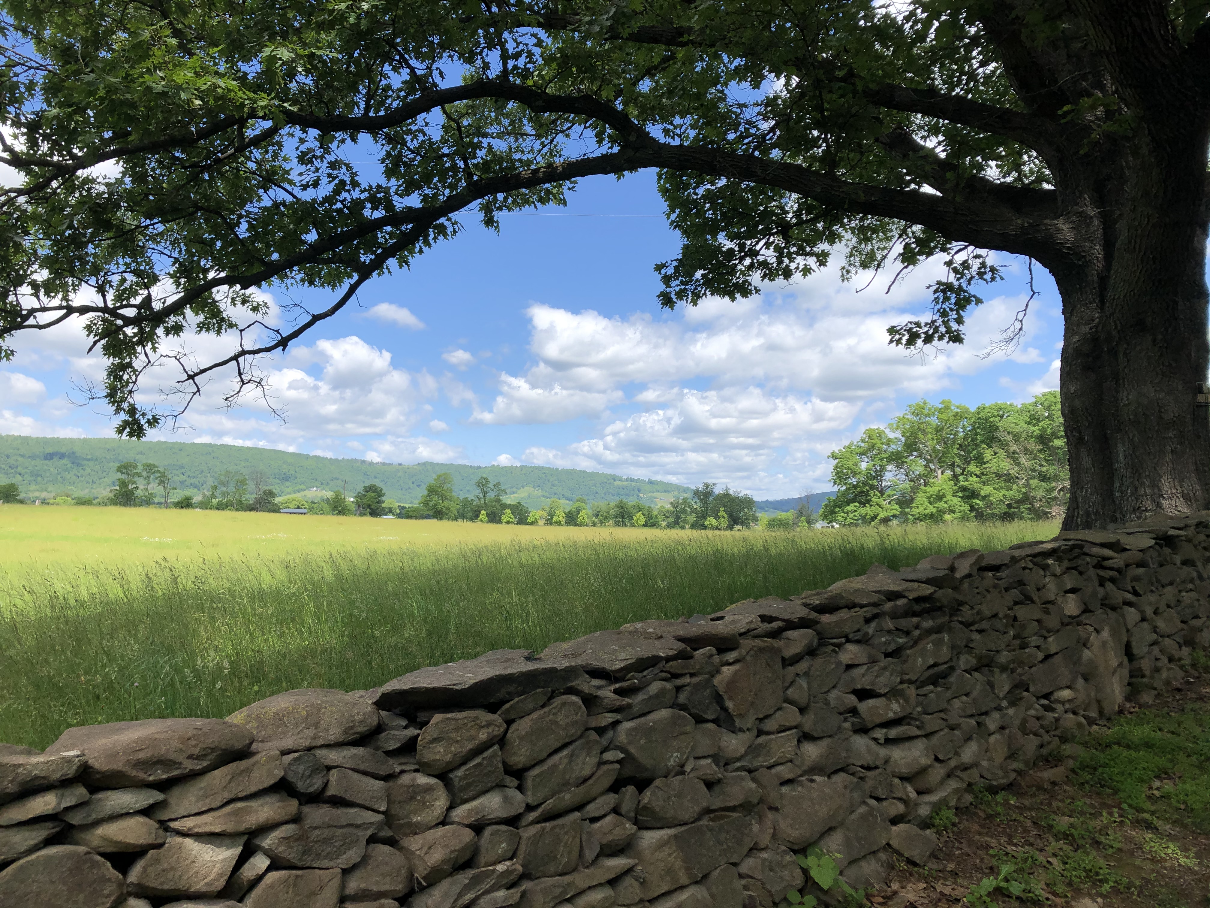
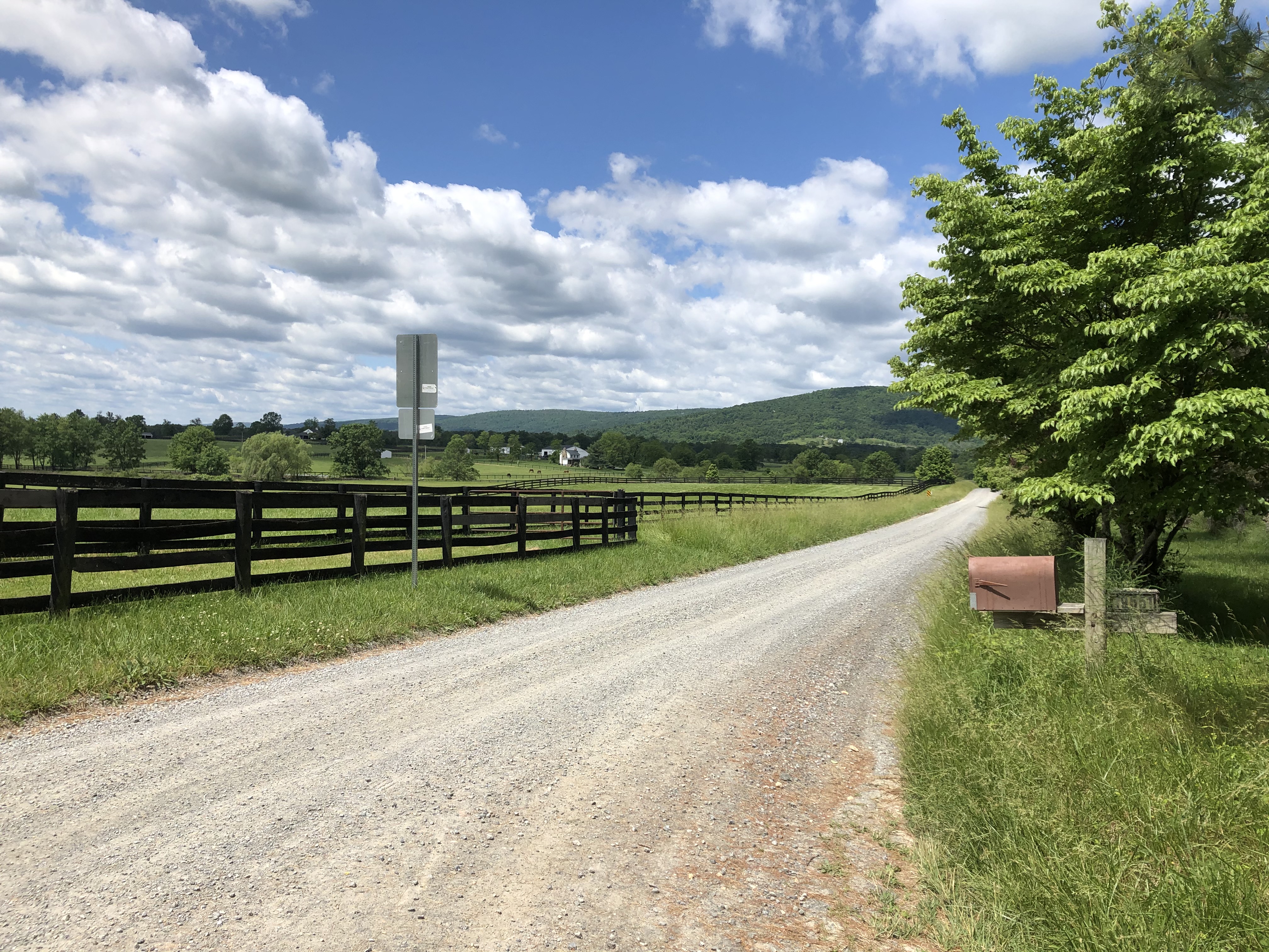
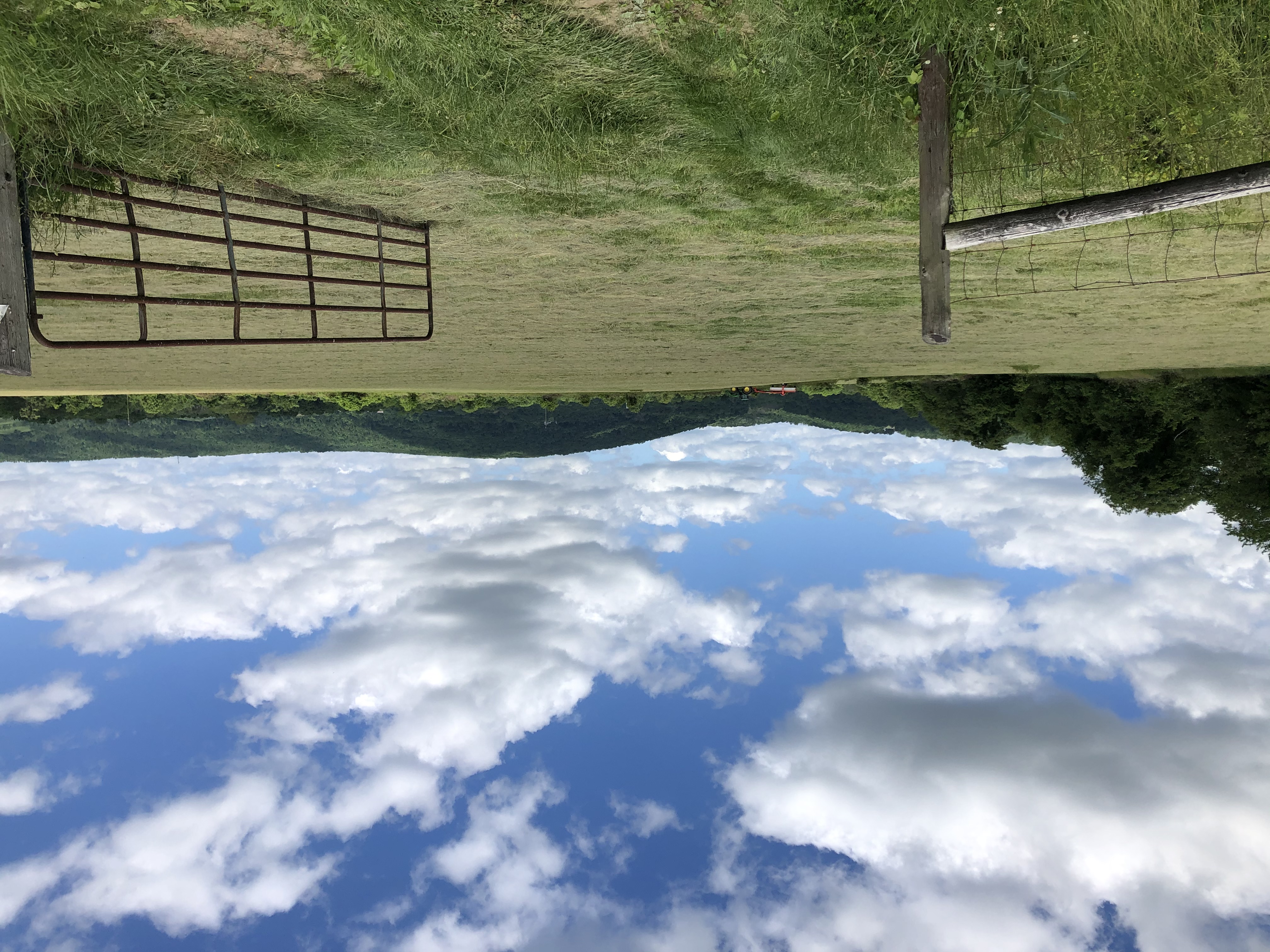
The entire stretch is picturesque, and while it’s mostly exposed to the sun, it’s a few degrees cooler out there compared to inside the Beltway, and the breeze picks up more readily.
The temperature difference is how I got into a bit of a mess my first time out there. Back in Feburary 2018, it was looking like D.C. would be pelted with freezing rain on a Sunday morning. With a long run planned, I really didn’t have much patience for being pelted for a few hours, so I figured I would drive out to western Loudoun County to cash in on light snow instead.
And it did, beautiful, fluffy snow. I headed south of Route 7 armed with two cue sheets (in plastic bags, no less), noting route numbers, directions and general mile markers where I’d be making my turns. It worked great, unti lI realized 13 miles in that the left turn I was looking for a half mile back wasn’t even an option. By then the temperature warmed and that snow turned into the very freezing rain I was trying to avoid. A passing motorist pointed me in the right direction, and I ultimately passed the field where we took the magazine cover shot. That was about 19 miles into the run and a few minutes before my hamstrings started suffering and I was reduced to hitchiking back to my car. It was the right move, since the route I took would have been 26.5 miles, not 20.